Maps
Navigate through time
Orvieto today
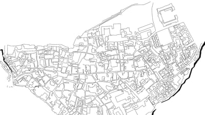
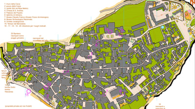
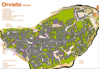
The town extends almost over the entire area of the rock. Its streets approximately mirror the medieval layout: little is left of the ancient Etruscan neural network of roads.
Etruscan Orvieto
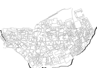
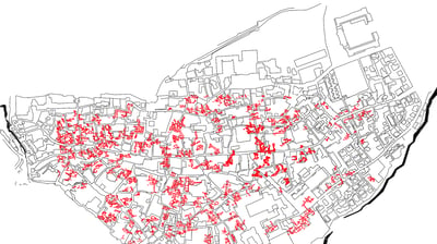
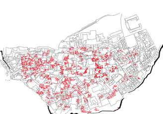
This map shows where Etruscan buildings where found. Few are visible today, since most are on private property.
Orvieto underground
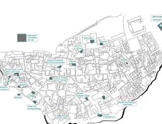
A dense network of underground caves and tunnels connects the town below the visible street level. Many caves are of Etruscan origin and have been expanded or re-adopted over the centuries. The majority of tunnels are of private property and thus not accessible to the general public.
Orvieto's medieval Rioni
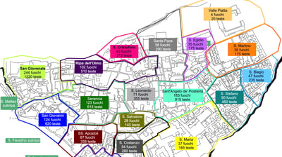
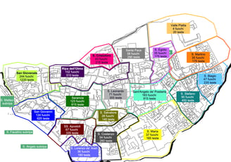
This map portrays the rioni as of 1292.
Orvieto XI-XIII AD
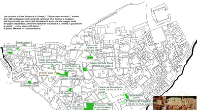
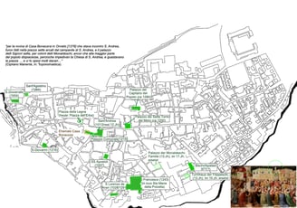
A collection of buildings from the town's most prosperous period. Orvieto was then an independent city-state, ran by a parliament of citizens and a "captain" elected on a 6-month rota. Internal disputes of the two major families, and a devastating pest event in 1348 lead to its sudden collapse, from which the town never fully recovered.
Orvieto medieval water sources
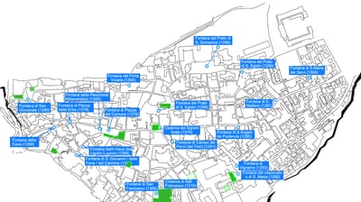
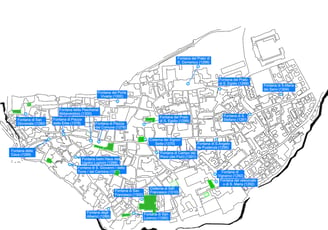
The biggest problem when living on the heights of a volcanic rock is water. The Etruscans had dug underground waterways and deep wells, but many had been forgotten. Only in late medieval times, the water logistics were improved, a new aqueduct built and public wells dug by churches and/or the town administration.
Orvieto in old maps
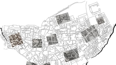
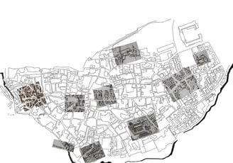
Cut-outs from old maps showing the position of buildings still standing today, laid above today's grid.
Orvieto XV AD
This map displays the position of later additions to the inner town of Orvieto.
Orvieto today
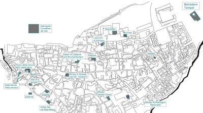
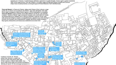
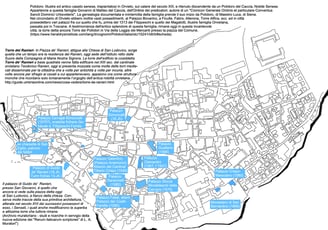
A comprehensive map of today's town including tourist sights relative to its Etruscan and medieval past.